High Halstow Neighbourhood Plan - Regulation 16
Appendix 1: Key Views
This section provides further information on key views in the Neighbourhood Plan area and is expanded upon in the supporting 'Important Views' document submitted alongside the Neighbourhood Plan. Further information on important viewpoints is presented in the Hoo Landscape Sensitivity & Capacity Study65.
|
Location |
Latitude |
Longitude |
General Direction |
Approx width of view |
Features seen |
Importance |
|
Intersection of Ropers Green lane with RS44 |
51.441423 |
0.582082 |
West |
180˚ |
Belluncle Halt, Kingsnorth power station' River Medway |
The southern extremity of High Halstow Parish with views to the industrial site of Hoo St Werburgh once MOD land |
|
Start of RS46 at Ropers Lane roundabout |
51.436501 |
0.567341 |
North West |
90˚ |
Solomons Farm' site of Chattenden & Upnor railway line, south flank of High Halstow |
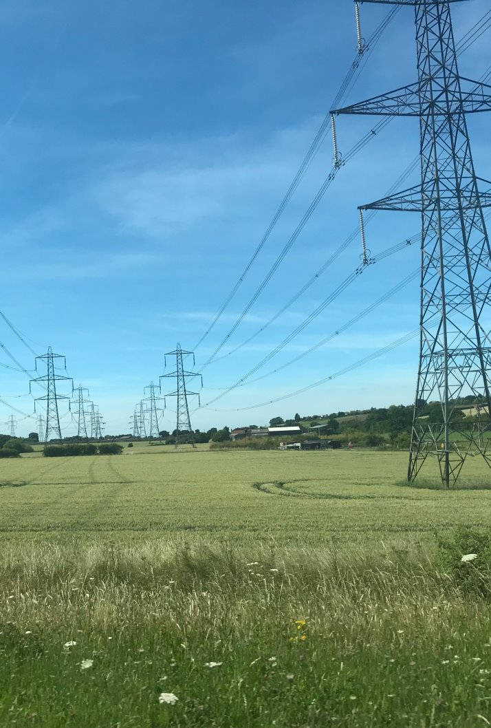
An important feature of High Halstow is its prominent position on the eastern escarpment of the North Kent Downs overlooking the North Kent Marshes and River Thames. A branch line linked Sharnal Street Station with the oil refinery at Berry Wiggins which closed in 1977. Berry Wiggins had purchased the site from the MOD which used the site for an Air Ship base in WWI. Solomons Farm and buildings mark the railway intersection between the Hundred of Hoo Railway and the old Chattenden & Upnor, and was the main railway connection for Lodge Hill the Munitions storage facility for Chatham Naval Dockyard. The working Farm included an example of one of the original bridges across the railway line and access for Public Rightof Way (no. RS347) and is adjacent to the site of the old Sharnal Street railway station and two further examples of railway bridges, at one time, carrying the main road traffic on and off the peninsula. In recent years this valley has been used to route the main electrical feed from the Peninsula's power stations. |
|
Intersection of RS46 with south of old Chattenden and Upnor railway line |
51.439764 |
0.563543 |
360˚ |
Site of old Chattenden railway views of Solomons farm, the village and farmland |
Provides for a historical look at the past when munitions were made on the peninsula. This railway line would have been the height of activity during the two world wars. This view point is situated on the site of the old Chattenden & Upnor branch line who's route is visible Westwards towards the site of the old bridge at Dux Court Road and Lodge Hill beyond. |
|
|
RS46 Rear of Christmas Lane |
51.446304 |
0.565667 |
South |
180˚ |
Views across Solomons Farm, Orchards, Dux Court road towards Ratcliffe Highway |
This shows the 'green wedge' between High Halstow and Hoo St Werburgh which is important to retain to reinforce the separate sense of identity of these places. It provides a view across Solomons Farm where the route of the Hundred of Hoo Railway and its bridges across Dux Court Road. The line of the Chattenden & Upnor branch is visible as well as the old site of Sharnal Street Station. |
|
From RS45 highest point |
51.442279 |
0.550518 |
North |
360˚ |
View of the south side of the village across orchards. Solomons farm, Wybournes Farm, River Thames towards Gravesend, Lodge Hill |
Views give an indication of the isolation of High Halstow village from other major communities surrounded by the farms that initially made the community |
|
Intersection of Wybournes way with western boundary of Village |
51.4456358 |
0.53948879 |
West |
360˚ |
Solomons Farm. River Thames. Lodge Hill Wood Spendif towards Higham. |
An important Landscape feature here shows the escapement of the North Kent Downs and its connection with the Marsh and the river Thames Beyond |
|
Adjacent to the Southern water Spring on Cooling Road |
51.448859 |
0.552471 |
North |
270˚ |
Dalham Farm, Dalham Farm SSSI Northward Hill, Buck hole Farm East borough Farm River Thames North Kent Marshes SPAs |
Shows clearly the relationship between Northward Hill and the North Kent Marsh, and specifically how this creates a natural roost in the wooded hill for the colony of breeding Herons and Little Egrets close to the rich feeding ground of the Marsh. |
|
Top of Lipwell Hill at boundary of Village |
51.4523221 |
0.54536819 |
North west |
270˚ |
Buck hole Farm. East well Farm North Kent Marshes, River Thames. |
Open view of the marsh land contrasting with the high ground of Northwood Hill. Also shows the barrenness of the marshes compared to the major international port and oil terminal on the Essex side of the River Thames. |
|
On The Saxon Shoreway half way up Northward hill at RSPB Viewpoint |
51.458366 |
0.555625 |
North West |
180˚ |
North Kent Marshes SPA's River Thames Eastborough Farm Cooling Radio station |
View point gives a birds eye insight of the view of the Marsh and river, and the importance of Northward Hill as a protected roost. Probably the best view of the Cooling Radio station which is otherwise shielded from view. |
|
Forge Common |
51.455291 |
0.565238 |
South |
180˚ |
River Medway, St Mary Hoo.River Thames |
Located at on the south side top of Northward Hill, the village sits seemingly nestled amongst woodlands across the top of which glimpses of the River Medway are possible. |
|
On Bessies Land at the Spring on top of the hill |
51.458713 |
0.577168 |
North |
270˚ |
Thames Estuary, St Mary Marsh, Halstow Marsh, Decoy, Decoy Farm. Swigshole House. Canvey island, Southend Tilbury, Gravesend. |
Walking North along Bessies Lane to this view it is clear to see the extent of the Cliffe, Cooling, Halstow, St. Mary's and Allhallows marshes to the North and the Medway Estuary marshes to the South and the part Northward hill has to play. Much of the peninsula and its surrounding intertidal habitat is heavily protected under the Bern Convention. Like the North Norfolk coast the Peninsula forms an important and vital link on one of only five migratory routes for Artic wildfowl, it plays host to over 300,000 wintering wildfowl every winter. |
|
On Manor Way in the Marsh |
51.474861 |
0.569572 |
360˚ |
In the heart of Halstow Marsh SPA, Northward Hill, Shades House, St Mary's Marsh |
Walking Manor Way you get a feeling and view of the importance of the grazing marsh so vital for wintering wildfowl when the tide rises and the inertial habitat becomes hidden. |
|
|
Saltfleet flats |
51.485338 |
0.552063 |
360˚ |
River Thames Egypt Bay The Halstow Marshes, Cooling Marshes Northward Hill National Nature reserve Shades House Container port. |
Sitting and watching wildfowl feeding the waters edge as the tide rises then making the short flight over the sea wall to continue uninterrupted feeding on the grazing marsh, give an insight to the importance of the seemingly baron and forbidding landscape. This landscape as a raw beauty once so famously described by Charles Dickens in his open words of Great Expectations, "Ours was the marsh country, down by the river, within, as the river wound, twenty miles of the sea. My first most vivid and broad impression of the identity of things, seems to me to have been gained on a memorable raw afternoon towards evening. At such a time I found out for certain, that this bleak place overgrown with nettles was the churchyard; ….; and that the dark flat wilderness beyond the churchyard, intersected with dykes and mounds and gates, with scattered cattle feeding on it, was the marshes; and that the low leaden line beyond, was the river; and that the distant savage lair from which the wind was rushing, was the sea" |
65 Medway Council, February 2019, Hoo Landscape Sensitivity & Capacity Study, Draft